01Browser
LGM GIS
Investigate a territory with a map and natural-language chat.
Open GIS ↗
Large Geospatial Model
Ask a question about any territory. LGM combines global data, spatial computation and AI, then returns evidence, layers and decision-ready answers.
Manage data and API keys →Which streets and districts should Tbilisi improve next?
Choose your access surface
Start with the interface that matches your work. Move between them without moving your data.
Investigate a territory with a map and natural-language chat.
Open GIS ↗Give AI agents raster, vector, catalog and GeoRAG tools.
Connect MCP ↗Bring LGM data and analysis into the desktop GIS you already use.
Request access ↗Manage collections, organizations, API keys, usage and billing.
Open Platform ↗Product proof · LGM GIS
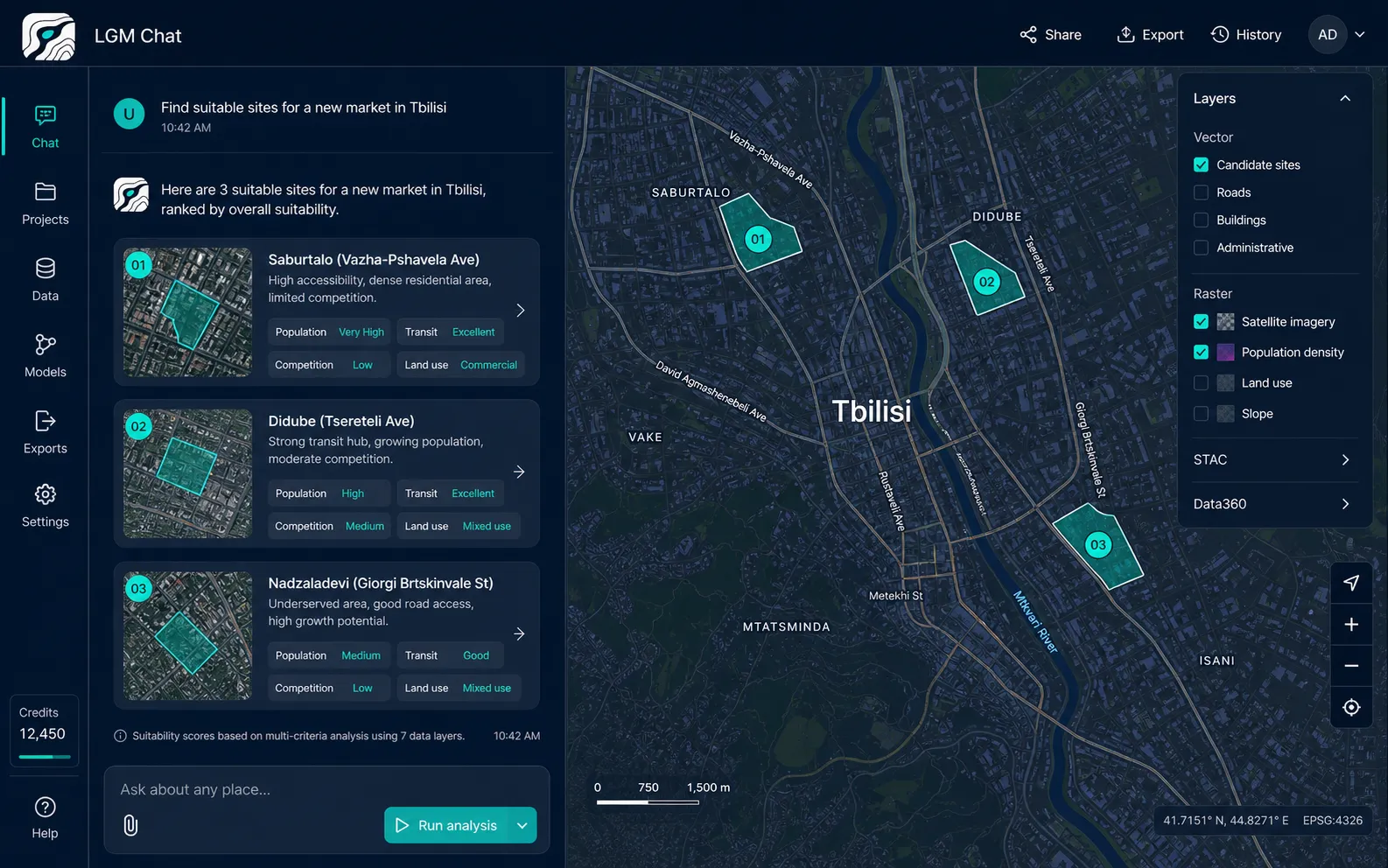
For the Tbilisi study, LGM recursively collected more than 100,000 records, compared ten street corridors and ranked district opportunities with source-backed reasoning.
What LGM provides
Query global and private raster, vector, imagery and catalog data without managing hundreds of gigabytes of infrastructure.
Explore available data →Combine spatial operations, GeoRAG and orchestration to turn a question into an evidence-backed result.
See a research workflow →Use the same geospatial backend through API, MCP, web GIS and professional plugins.
Compare access surfaces →Built for decisions
Find infrastructure gaps, monitor territory and prioritize capital projects.
↗02Rank locations for retail, offices, housing and public services.
↗03Analyze soil, elevation, vegetation, water and climate constraints.
↗04Add a reliable geospatial tool layer to agents and applications.
↗Data foundation
Start with OpenStreetMap, Overture, elevation, surface classification and six soil depths. Add private raster, vector and imagery collections when your work demands it.
Explore data →Start with a territory