Browse collections
Find available raster and vector layers without leaving the QGIS project.

QGIS Plugin · Private beta
Browse LGM collections, add raster and vector layers, run analysis and keep the result inside the desktop workflow GIS teams already know.
LGM analysis output
Use LGM to narrow a territory, then continue validation, styling and production work in QGIS.
See available data formats →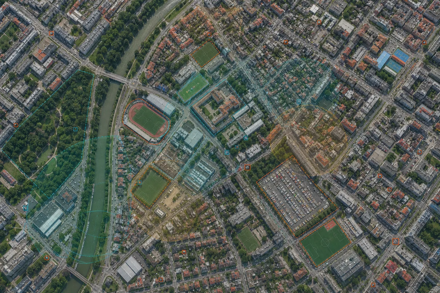
Plugin capabilities
The plugin connects QGIS to the same collections and geospatial services available through LGM Platform.
Find available raster and vector layers without leaving the QGIS project.
Bring LGM outputs into the canvas for styling, comparison and further analysis.
Use geospatial intelligence while keeping the professional desktop workflow.
Keep layers synchronized with their connected LGM source.
Private beta now
Until the public repository release, beta access and credentials are handled through LGM Platform.
Request beta access ↗Public repository flow · Planned
Plugins → Manage and Install Plugins.
Open the public listing and review release notes.
Use the standard QGIS repository installation flow.
Authorize the plugin with your LGM credentials.
Release information
Why a dedicated plugin?
LGM is designed for data discovery, spatial computation and decision workflows—not only tile display. The plugin connects those services to the layer, styling and project tools of QGIS.
QGIS Plugin · Private beta