01Data product
Geospatial Data Layers
Collect, prepare, govern and distribute regional open, premium and private geospatial data.
Explore data layers →
Solutions
Use the same geospatial intelligence layer across planning, investment, operations and AI products.
Open GIS ↗For strategic partners
Use LGM as a product and engineering layer around a model, cloud or enterprise agent ecosystem.
Collect, prepare, govern and distribute regional open, premium and private geospatial data.
Explore data layers →Evaluate spatial reasoning, tool calls, planning decisions and GIS-ready results across partner or client systems.
Explore the benchmark →Build pilots and production-ready systems for enterprise and government clients brought by a strategic partner.
Explore partner delivery →Measure access, monitor territory, plan services and compare development scenarios.
Find locations for retail, offices, housing and public services using demand, access and constraints.
Understand soil, water, terrain, vegetation and climate exposure across a territory.
Support engineering, utilities and mobility decisions with current spatial context.
Detect change and prioritize field inspection using repeated imagery and spatial rules.
Bring live geospatial context and model-ready layers into 3D and operational twins.
Give agents and software a reusable geospatial tool layer through API, MCP and GeoRAG.
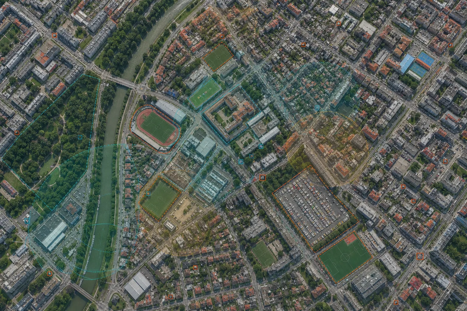
From insight to layer
Review a result in LGM GIS, retrieve it through API or MCP, or continue the work in QGIS and other connected tools.
Compare integrations →For organizations