Raster services
Clip, inspect and calculate over Cloud Optimized GeoTIFF and derived raster products.

LGM API · Usage-based access
Use one backend for raster, vector, catalog and orchestrated geospatial workflows. Authenticate with a scoped API key and attribute usage to the right client.
Developer experience
LGM Platform is the control surface for credentials, organizations, limits and billing attribution. Public endpoint documentation will expose production URLs and request schemas.
Open Platform ↗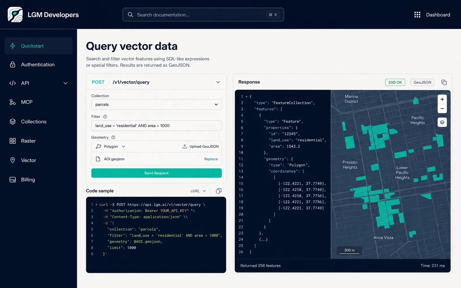
API surface
Choose focused data services or let the orchestrator assemble a multi-step workflow.
Clip, inspect and calculate over Cloud Optimized GeoTIFF and derived raster products.
Search, filter, intersect and transform large vector collections stored for analytical access.
Ground application answers in geospatial sources, metadata and retrieved evidence.
Execute multi-step research across data services and models through one application backend.
Interoperable formats
Indexed, overview-ready access to large raster products.
Columnar geospatial storage for high-volume analytical filtering.
Application-friendly points, lines, polygons and properties.
Standardized discovery for Earth-observation assets and metadata.
Metering
Each scoped key can be used to attribute requests, tokens and compute. Monthly aggregation supports invoice generation while limits and budgets keep client usage controlled.
LGM API