01Applications
API
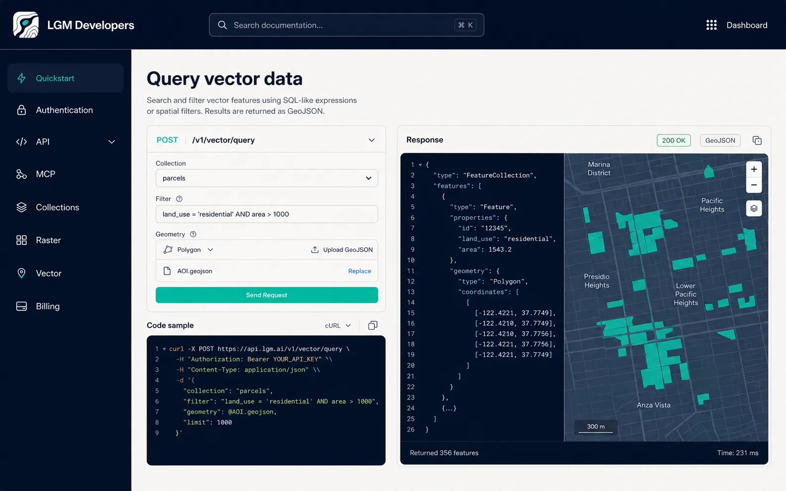
Call raster, vector, catalog and intelligence services from your own product.
Explore the API →
Developers
Use API for applications, MCP for agents, QGIS for analysts or LGM GIS for browser research. Every path reaches the same data and spatial backend.
Call raster, vector, catalog and intelligence services from your own product.
Explore the API →Give compatible agents outcome-oriented geospatial tools over a remote connection.
Connect MCP →Access LGM layers and analysis inside a professional desktop workflow.
View the plugin →Understand available layers, formats, catalogs and private collections.
Explore data →Developer workflow
Create scoped credentials in LGM Platform, connect the interface your product needs and keep cost attribution visible as usage grows.
Shared foundation
Raster uses Cloud Optimized GeoTIFF, vector storage uses GeoParquet, interchange can use GeoJSON and catalog discovery uses STAC.
View data and formats →Start building