Define the area
Search for a city, draw a polygon or provide coordinates.

LGM GIS · Browser application
Ask a question about a place. LGM selects data and spatial operations, then returns sources, findings and reusable map outputs.
Example · Tbilisi
The investigation recursively collected city data, compared ten corridors and narrowed broad questions about retail, offices, housing and social infrastructure into areas for field validation.
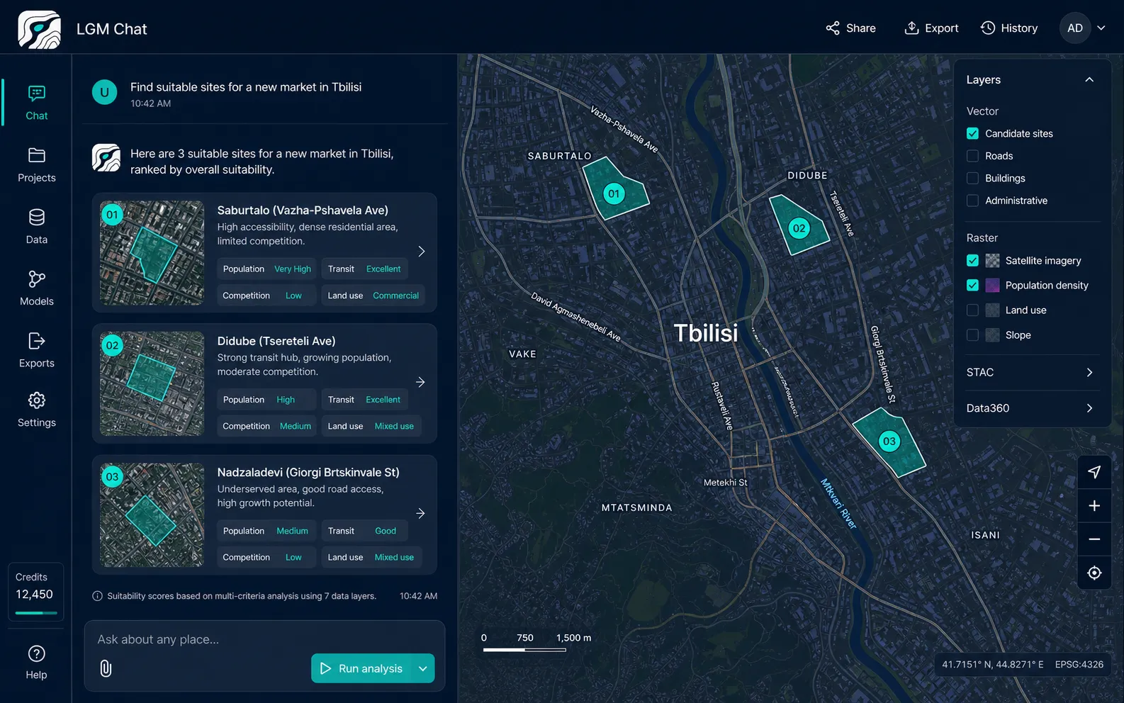
A visible research workflow
Search for a city, draw a polygon or provide coordinates.
Describe the site, risk, object or opportunity you need to investigate.
Inspect selected sources, operations, assumptions and intermediate findings.
Work with priority zones, layers and findings in the next GIS workflow.
Start with a decision
Open GIS, choose a territory and adapt one of these questions to your context.
Find small zones where demand, walking access and available space align.
Open GIS to run ↗Compare neighborhoods to identify gaps in schools, sports and public services.
Open GIS to run ↗Combine terrain, soil, water, protected areas and planning constraints.
Open GIS to run ↗What comes back
Computer vision
Planned workflows cover satellite, aerial, orthophoto and video imagery, returning detected objects with geographic coordinates.
Runs in the browser · No plugin required